
Sources Around Topeka Neighbors
The immediate block has several official layers, but none is a complete roster. Select a fixed set of touching parcels or state a distance from the starting parcel. Then retain the exact map relation and date. That boundary makes the result repeatable and prevents a vague street-name search from pulling unrelated properties.
| Block source | What it contributes | Access route |
|---|---|---|
| County parcel polygons | Adjacent lots, shapes, owner display, legal description | Free GIS viewer or public query |
| ARES assessment roll | Address, owner, QuickRef, mailing-versus-situs check | Free terms-gated search |
| City permits | Construction or alteration events near the address | Current Cityworks view; 1880-1925 index |
| Election counter and poll books | Controlled address/name checks for permitted periods | Election Office inspection and copies |
| City directories | Past street entries and cross-reference listings | TSCPL, KSHS, TGS |
| Neighborhood associations | Civic area, status, and meeting context | Current city list and PDF |
A parcel result names a recorded owner, not each person inside a structure. A directory entry is dated, and a voter record does not identify every occupant. Treat each as one part of a neighbor lookup.
Map Topeka Neighbors by Parcel
The Shawnee County Property Search Map supports address search, pan, zoom, and identify. Its companion parcel service supports geometry and distance queries, but research found no button labeled “neighbors within radius.” State the selection method rather than claiming an automatic neighbor tool.
- Locate the starting address and save its QuickRef, PID, and polygon.
- Select each touching parcel, or use a stated distance around that polygon.
- Record OBJECTID, PID, QUICKREFID, ONAME, PADDRESS, MAILNAME, DBOOKPAGE, and legal description.
- Describe map relation, such as adjoining north, across the street, or corner parcel.
- Check ARES and permits while retaining the same parcel ID and search date.
Do not merge alleys, utility tracts, condominium units, or two lots with one owner. The full named-street chain belongs in the Topeka street directory.
Separate Topeka Parcel Addresses
The county schema exposes PADDRESS for the physical parcel and MAILADDRESS for owner correspondence. MAILNAME may also differ from ONAME. This local quirk can show why an owner receives tax mail elsewhere, but it cannot establish that the owner does or does not occupy the Topeka parcel.
- Situs address
- The physical location assigned to the parcel.
- Mailing address
- The destination used for tax or owner correspondence.
- Parcel
- A mapped unit of land with its own identifiers and legal description.
- Adjacent polygon
- A parcel shape touching the selected parcel boundary.
Homestead information may be available through county offices, yet the inspected parcel schema did not provide a public parcel-by-parcel homestead field. Do not infer owner occupancy from a same-city mailing address.
Topeka Neighborhood Groups Add Context
The city’s Neighborhood Involvement program supports resident civic organizations and explains how a defined area can organize. Its official list is a civic-directory layer, not a household list.
The program overview appears in this city source:
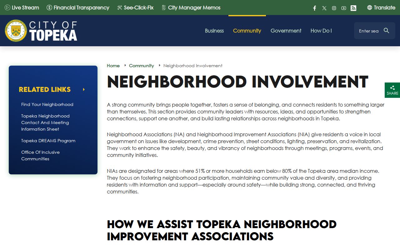
The page connects residents with area organizations without exposing private member details.
Central and west
College Hill, Downtown, Historic Old Town, Historic Holliday Park, Quinton Heights-Steele, and Valley Park appear in the current city material.
North and east
North Topeka, Oakland, NOTOMA, East End, East Topeka North and South, and Tennessee Town are named civic areas.
South and southeast
Hi-Crest, Highland Acres, Central Highland Park, Chesney Park, and Rolling Meadows add other defined civic umbrellas.
Use the city PDF for current active or inactive status and meeting place. Schedules change, so do not copy a calendar or private contact data into a block list.
Topeka Neighbors and Voter Books
Shawnee County Elections describes alphabetical and by-street counter books, weekly statistics, public inspection, and poll books retained for four years. These offer a controlled address/name check under office rules and K.S.A. 25-2320a. Kansas VoterView is better suited to an individual checking their own registration than to copying a whole block.
The county candidate and counter-book page shows the by-street access route:
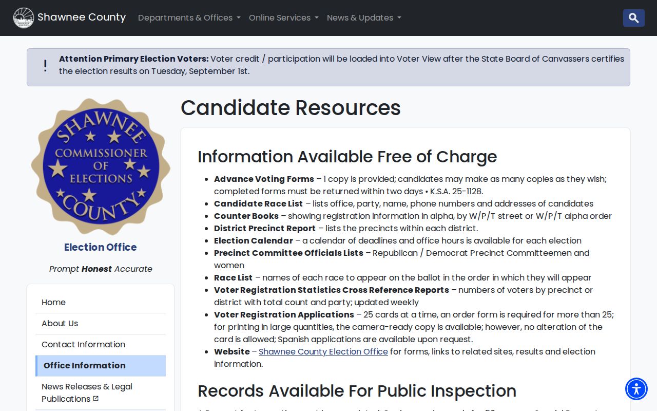
Its categories clarify that block-level election research occurs through a custodian, not an unrestricted street export.
The broader Shawnee County Election Office gateway is shown here:
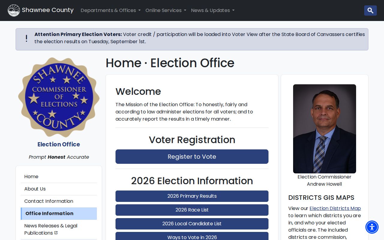
Use the office instructions for inspection, copies, registration, and polling resources, and never treat registration as proof of every person living at an address.
Historic Records Behind Topeka Neighbors
Historical directories and Sanborn maps can reconstruct an earlier block. TSCPL holds city directories from 1870 forward, including cross-reference and telephone volumes. The HOUSES file, newspaper clippings, and maps can explain a property or street change. The 1937 street-name changes require care when joining an old listing to a modern parcel.
The 1913 Shawnee County atlas adds landowner maps and an automobile-owner directory on pages 41 through 44:
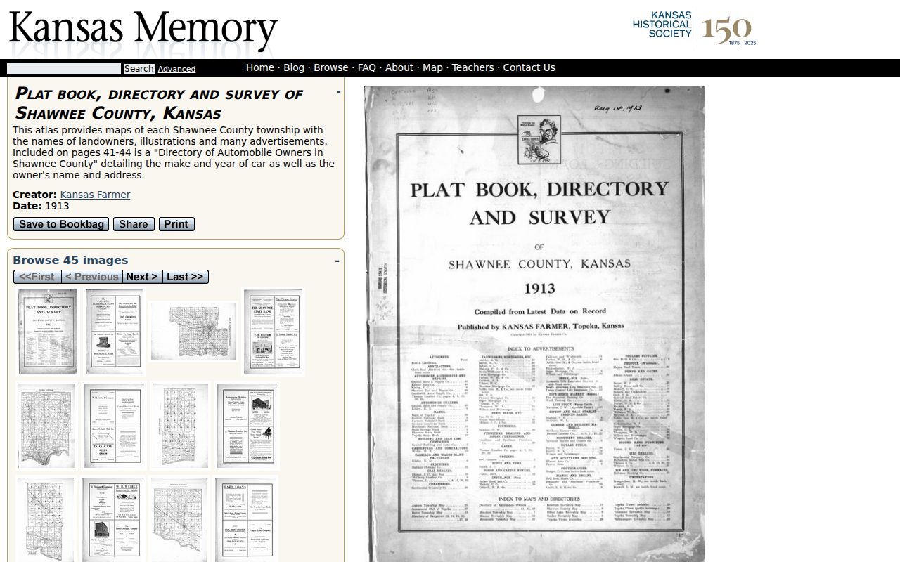
The atlas is a dated cross-check. It does not establish later residence, and civic neighborhood names are not parcel or ZIP boundaries.
Topeka Community Archives Beyond Parcels
The Shawnee County Historical Society archives preserve local context about Topeka neighborhoods, the 1951 flood, Exodusters, abolitionists, forts, and other community history.
The Cox Education Center is at 1118 SE Madison Street, but archive access is under review. Contact the society before a visit. Church, civic-club, and neighborhood records may show a public community role, yet no open membership roster or block-watch list was verified.
Official Topeka Rolls Versus Compilations
Commercial neighbor tools may combine old directories and public filings, but stale names can outlive a move or ownership transfer. Official records also have limits, though they identify the custodian, record date, and field meaning.
| Measure | Official local record | Commercial compilation |
|---|---|---|
| Source date | Usually visible or obtainable | May be unclear |
| Field meaning | Defined by assessor, recorder, or office | May blend owner and occupant clues |
| Correction | Ask the named custodian | Provider process varies |
| Best use | Confirm a dated parcel or civic fact | Unverified lead only |
Prefer the dated county polygon and official owner-display field, then add a separate civic-context table. Do not present either source as a promise to identify every nearby household.
Privacy for Your Topeka Neighbors
Check the city association list again before naming a civic area because active status and meeting details can change.
Kansas public access is record specific. K.S.A. 45-230 restricts certain use and distribution of name-and-address lists. K.S.A. 25-2320a controls voter-list access and use. The Safe at Home program gives eligible people a substitute address, and the confidential original address must not be reconstructed.
A block result should also preserve its search date and selection rule. Parcel ownership, permit status, voter access, and association standing can change on different schedules. Save the QuickRef for each lot and describe whether it touches the starting parcel or falls within a stated distance. That record makes the neighbor lookup repeatable without suggesting that every named owner is a present occupant.
No official public utility-customer, congregation-membership, or block-watch roster was found. Kansas Open Records Act requests seek existing records; they do not require an office to create a list of everyone around an address. Sealed fields and protected addresses remain protected even when another parcel field is public.
Block boundaries also require care. Civic groups such as Tennessee Town, NOTOMA, College Hill, North Topeka, Oakland, and Hi-Crest describe community areas. They do not replace a parcel polygon, ZIP boundary, or city limit. A corner lot may sit near more than one civic area, while one structure can occupy several parcels. Show both possible areas when an address is close to a boundary, and cite the city’s defined-area material rather than assigning a group from the postal code alone.
Nearby permit activity needs the same restraint. The city layer can return a case number, location, type, status, and entered, issued, or expiration dates. That record can date work on the block, but it does not identify all people who requested, performed, or experienced the work. Keep the permit point separate from the county cadastral polygon, the mapped legal parcel used for land administration, because their locations can differ in precision.
Lawful use. Use neighbor records for civic curiosity, reconnecting, or personal safety awareness. Never watch, intimidate, harass, or publish a guessed protected address.
Note: A parcel owner, voter entry, directory name, and permit applicant each prove different dated facts, not present occupancy by the same person.